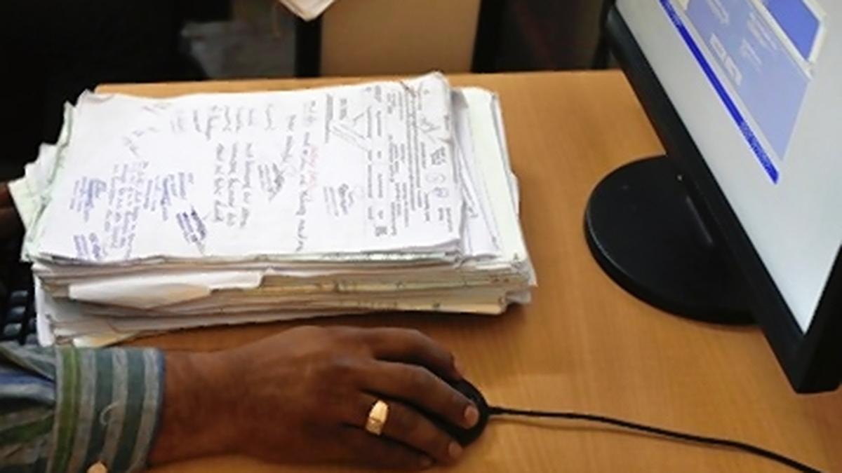

Image for the purpose of representation only.
| Photo Credit: Aijaz Rahi
GUWAHATI
The Bodoland Territorial Region (BTR) in Assam has become the first tribal council under the Sixth Schedule of the Constitution to fully digitise its land records.
Officials said the digitisation of more than 15 lakh land documents, including texts and maps, across the 8,970 sq. km BTR was completed a few weeks ago, ending decades of manual record-keeping.
There are 10 tribal councils under the Sixth Schedule in the north-east – three each in Assam, Meghalaya, and Mizoram, and one in Tripura. Two of Assam’s councils, in Karbi Anglong-West Karbi Anglong and Dima Hasao, were set up five decades before the Bodoland Territorial Council (BTC) was constituted in 2003.
The BTC administers the BTR comprising five districts in northern and western Assam.
The Sixth Schedule contains special provisions for the administration of tribal areas, empowering autonomous councils to manage land, forest, and local governance within their jurisdictions. However, these councils have often faced resource constraints, infrastructural gaps, and administrative hurdles.
Officials said the BTR government’s adoption of technology-driven governance, including the e-office system, has demonstrated how such challenges can be addressed in line with the Digital India Mission.
BTC Secretary Dhiraj Saud said the digitisation process began in 2023 to enhance transparency in land ownership and simplify customary landholding patterns.
“The exercise involved ground-level surveys across all subdivisions of Baksa, Chirang, Kokrajhar, Tamulpur, and Udalguri districts. Old land records, some dating back several decades, were digitised and cross-verified with revenue records and maps,” he said.
Officials said Geographic Information System (GIS) mapping was integrated to ensure accuracy in land boundaries.
The exercise also helped streamline the Pramod Boro-led BTR government’s Mission Bwismwuthi 2.0 earlier this year, under which land rights were provided to 47,000 indigenous landless families, including 9,000 small tea growers and rubber farmers. In the first phase of Mission Bwismwuthi, which offers 14 land-related services, more than 2.11 lakh applications were disposed of.
Officials said the new digital platform now allows farmers, landowners, and citizens to check land status through kiosks, mobile applications, and web portals.
“Land disputes have often been the cause of social tension in our area. By digitising records, we are ensuring transparency and minimising chances of corruption, forgery, and conflict,” a Revenue Department official said.
They added that the BTR’s land record digitisation and e-office system have become a case study for other autonomous councils in the north-east.
Published – September 03, 2025 04:37 pm IST
Doonited Affiliated: Syndicate News Hunt
This report has been published as part of an auto-generated syndicated wire feed. Except for the headline, the content has not been modified or edited by Doonited


