
Aniket Bera: Indian-Origin Purdue Researcher Demonstrates an AI Drone That Follows People Through Forests Without GPS
A short demonstration from Purdue University has drawn attention to a difficult problem in autonomous robotics: how can a drone navigate unfamiliar terrain and track a moving person when satellite signals and internet connectivity are unavailable?
A missing hiker in a dense forest presents a difficult challenge for rescue teams. Trees obstruct visibility, uneven terrain slows ground searches and satellite navigation can become unreliable beneath thick vegetation. In such conditions, a drone that can navigate independently and follow a moving person could offer valuable assistance.
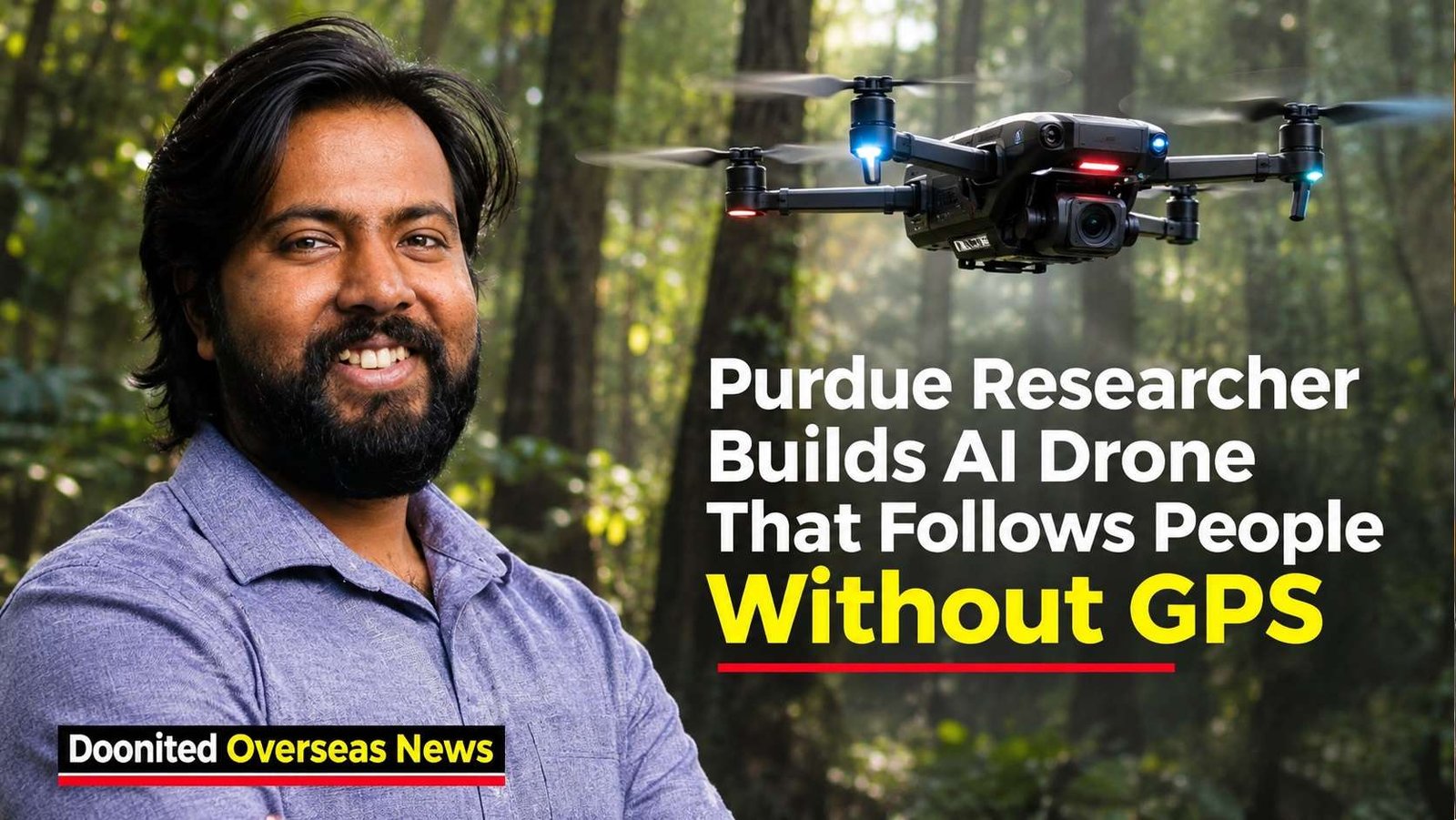
That possibility has attracted attention following a demonstration by Aniket Bera, an Indian-origin associate professor of computer science at Purdue University in the United States. A 44-second video shared by Bera on October 24, 2026, showed an autonomous quadcopter weaving between trees while following a person through a wooded area.
The drone was presented as operating without GPS, a pre-existing map or continuous cloud connectivity. It also demonstrated an ability to estimate the person’s likely movement when trees temporarily blocked the camera’s view.
The development is interesting not simply because a drone can follow someone. Its significance lies in the combination of autonomous navigation, environmental sensing and movement prediction in a location where conventional navigation systems may struggle.
Who is Aniket Bera?
Bera is an associate professor in Purdue University’s Department of Computer Science and director of its IDEAS Lab — Intelligent Design for Exploration and Augmented Systems.
His academic background connects India and the United States. He completed his bachelor’s degree in computer science and engineering at Jaypee Institute of Information Technology in India in 2012 before earning a PhD in computer science from the University of North Carolina at Chapel Hill in 2017.
His research covers robotics, computer vision, artificial intelligence, motion planning and human-robot interaction. These fields are increasingly important as machines move beyond performing pre-programmed tasks towards interpreting their surroundings and making decisions in changing environments.
Purdue’s IDEAS Lab works on robotic systems that can perceive, plan and collaborate safely with people. The forest-drone demonstration fits into this broader research direction.
How can a drone operate without GPS?
Most familiar consumer drones depend heavily on satellite positioning to estimate their location. That creates a problem in dense forests, mountainous terrain and other environments where satellite signals may be obstructed or unreliable.
Autonomous systems can use alternative methods to estimate movement and understand nearby obstacles.
One important technology is LiDAR, or Light Detection and Ranging. It uses laser pulses to measure distances from surrounding objects. By collecting these measurements, a system can construct a three-dimensional representation of its immediate environment.
Inertial sensors can also measure changes in acceleration and rotation. Combining environmental measurements with movement data helps a drone estimate how it is travelling through space.
The forest demonstration is presented as using onboard sensing and computing to make flight decisions locally rather than relying on a remote server. The complete hardware and software configuration, however, has not been publicly documented in a peer-reviewed paper for this particular flight.
The difficult part: following someone behind trees
Tracking a person through a forest is more complicated than identifying a moving object in an open field.
A person may disappear behind a tree trunk, thick vegetation or another obstacle. In computer vision, this is known as occlusion: an object temporarily disappears from the camera’s view because something blocks it.
The demonstration describes an approach called occlusion prediction. Using previous observations, the system estimates the person’s likely direction of movement and where they might reappear.
This is an important distinction. The drone is not necessarily seeing the person while they are hidden. It is estimating their likely movement until visual contact can be restored.
Such prediction can help maintain tracking through brief interruptions, but it is not infallible. A person who suddenly changes direction, stops or moves into a more complex area may be harder to track accurately.
The research behind the technology
There is a wider international research ecosystem behind autonomous aerial navigation.
Technical analysis of the demonstration’s video telemetry has identified references to tools called SUPER and FAST-LIO, associated with the University of Hong Kong’s Mechatronics and Robotic Systems Laboratory. SUPER is a motion-planning system, while FAST-LIO is a LiDAR-inertial odometry framework.
The University of Hong Kong’s work on SUPER was published in Science Robotics in January 2025. The appearance of these software references in the Purdue demonstration is relevant, although it does not establish exactly how the tools were integrated or modified.
No peer-reviewed paper reporting the performance of this particular forest-tracking flight has been identified. Its capabilities should therefore be understood as those shown or described in the demonstration, not as independently established operational specifications.
Could it help rescue missing people?
Search and rescue is one of the most compelling potential applications.
A drone capable of navigating without reliable satellite positioning could help teams inspect difficult terrain, locate people in remote areas and provide aerial information when ground access is slow or dangerous.
The same general capabilities could be useful after natural disasters, when damaged communications infrastructure and difficult terrain complicate rescue operations.
However, a demonstration is not the same as a field-ready rescue system. Real deployment would require testing across different forest types, weather conditions, lighting, flight durations and target movements. Rescue teams would also need reliable information about tracking accuracy, battery endurance, operating range and safe failure procedures.
A technology with a second side
There is also a defence dimension to autonomous navigation research.
Purdue announced in November 2025 that Bera was leading a five-year, US$1.5 million agreement with the US Army’s Combat Capabilities Development Command Army Research Laboratory. The project concerns AI-enabled aerial and ground robots that can operate collaboratively in difficult terrain without GPS, with potential applications including autonomous scouting, reconnaissance and logistics planning.
The university’s announcement does not establish that this funding supported the forest demonstration. The distinction is important, but the broader research context shows why autonomous navigation is attracting interest from both civilian and defence organisations.
The ability to follow a person also raises questions about privacy and surveillance. A system designed to locate a missing hiker could, in another setting, be used to track people without their knowledge. Responsible deployment will require clear operational rules, oversight and safeguards.
From a research video to real-world impact
Aniket Bera’s demonstration offers a glimpse of how AI, robotics and onboard computing may change the way machines operate in places where conventional navigation is unreliable.
For India and its global technology community, it is also a reminder that Indian-trained researchers are contributing to advanced research ecosystems abroad.
But the real achievement will not be measured by a short video alone. It will depend on whether the underlying technology can be tested, made reliable and deployed safely in situations where human lives may depend on it.
A drone that can follow someone through a forest is an impressive demonstration. A drone that can help rescue a missing person consistently, safely and responsibly would be a much more consequential achievement.

World Beyond the News
Why Elephants Stay Close to Their Herd
Elephants live in highly social family groups and use calls, touch and body movements to maintain strong bonds.
Most of the Deep Ocean Remains Difficult to Explore
Extreme pressure, darkness and distance make deep-ocean exploration one of Earth’s greatest scientific challenges.
Spacecraft Can Travel Without Traditional Roads
Spacecraft use carefully calculated trajectories and gravity assists to travel enormous distances through space.
Why Movie Trailers Are Released in Stages
Major films often use teaser trailers, full trailers and final promotional spots to build awareness over time.